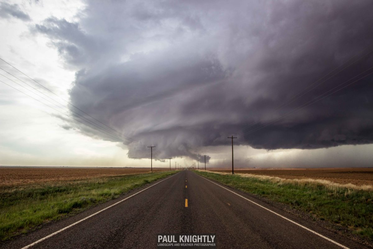
Chasecation 2016: Lamesa, Texas
At the start of April, I tentatively targeted the end of May/first part of June as when I would take my chasecation for the year. The end of May into the start of June typically provides the most volatile environmental conditions necessary for the big storms the plains are known for. I could not have known in early April that taking the last full week of May would have been the better option – that week saw an outbreak of tornadoes and storms, especially across western Kansas, that will be talked about for years to come. I managed to tap into some of that busy weather pattern before embarking on what turned into an abbreviated chasecation May 31 through June 2 due to poor weather conditions (aka – blue skies.) This is the second write-up of three covering my chasing adventures during my chasecation.
May 31, 2016 – Lamesa, Texas
After another volatile weekend that saw a number of severe storms crop up across the plains, I struck out first thing in the morning Tuesday May 31 and made my way to the Texas Panhandle. I was fully expecting to be chasing further north in Nebraska or the Dakota’s, but during June anything is possible. Coming off the Wamego storm just a few days before, I wasn’t nearly as anxious about my low chances with this set-up. In storm chasing, there is such a thing as easing your nerves if you’ve recently had a tornado under your belt.


The convective outlooks and models throughout the early part of the day were in agreement that some isolated storms would crop up, and the best chances would be in west Texas. The storm chances the next day would also occupy a similar area so it made sense to target the panhandle. Coming off the heals of the active week prior, fewer people would be chasing – which is almost my preference these days.
I left Kansas City around 7 in the morning and made it to Amarillo around 3 in the afternoon. A quick check of the prevailing conditions and observing some ongoing storms that had already popped up on radar told me to head further south to Lubbock. It was just south of there that I intercepted the first storm of the day. I’ll let you look at the first shot I took of the storm cell and take a wild guess at the name of the closest town.
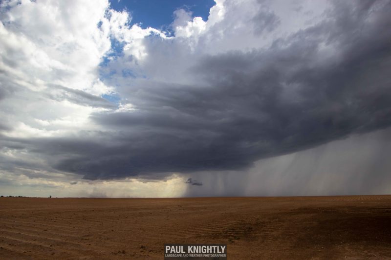
Brownfield, Texas. One of the more apropos small town names I’ve encountered storm chasing.
I set up my tripod and timelapsed the storm for about 15 minutes and socialized with some other storm chasers and photographers that had driven in from Arizona. One of my favorite things about storm chasing is the way it brings people together. In most cases, even with respect to other storm chasers around Kansas City, the only time of the year I’ll see most of them will be out on storms in the spring. I also had the opportunity to put faces to names that I’ve known for a while from social media, and vice-a-versa. Always nice!
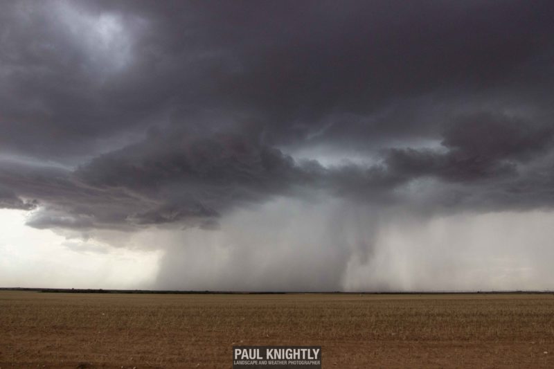
Still frame from one of two time-lapse sequences I recorded of the Brownfield storm.
As the storm closed in, it threw off a weakly-defined shelf cloud while putting its rain shafts on full display. I was disappointed by the lack of lightning on this cell, but it was sub-severe so that was hardly a surprise. As the rain moved in I pressed further south and east making my way to another cell that had popped up near Lamesa (which I’ve since learned is pronounced Lah-ME-sah).
Coming in from the north, I had cut through the leading edge of the cell to get onto the southern, more photogenic side of the storm. What I saw was incredible. The vast open plains of Texas allow for uninhibited views of the horizon, which allows you to take in the entire structure of a thunderstorm. This is probably the biggest single factor that makes watching storms in this part of the country as desirable as it is. As I reached my first pull-of, this was my view off to the west.
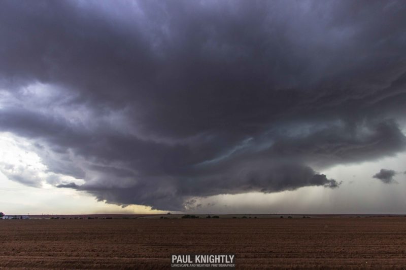
Still from time-lapse sequence as rotation within the Lamesa supercell began to tighten up and form a more defined wall cloud near the left center of the cloud base.
I set up another timelapse sequence and watched as the storm moved nearly right to left from my position. I could have sat in this position for longer than I did (only about 10 minutes) but as the rotation in the storm began to tighten I broke down and moved in closer. The storm was an exercise in bearing witness to the powerful inflow winds pulling in dust from the surrounding terrain only to then be regurgitated in the outflow. As the storm reached its peak intensity, it seemed for a moment the organization existed for the wall cloud to start generating funnels. I snapped this shot as I neared the base of the storm.

Defined wall cloud and rear-flank downdraft (RFD) pass over a county road south of Lamesa, Texas.
The storm exhibited the best structure I’ve found all year, and it happened within probably a 5 minute window before the storm became more outflow dominant and started to decay. The show was hardly over – I stayed on the storm for another 45 minutes photographing the bands of clouds as they were thrown off the storm. When you lack other notable landmarks, as is the case in west Texas, the backroads become your friend to add a foreground element to anchor the shot (at the risk of becoming repetitious.)
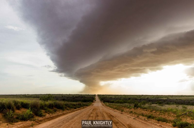
With the haboob that had struck Lubbock just two days before, I was hoping to get some dust storm action as the storm started blasting the surrounding countryside with outflow winds. Though it never materialized into a wall of dust as I was accustomed to witnessing while living in Phoenix, the storm put on nearly as fabulous show in death as it did in life. I chased for a couple of more hours, photographing lightning on storms further to the west, hoping for some decent cloud-to-ground (CG) shots but to no avail. I spent the evening in Odessa, satisfied with the day’s chase but uncertain of my plans for the next day.


